Landslide - in Cheshire?!
Introduction
The photograph on this page of Landslide - in Cheshire?! by Alan Bowring as part of the Geograph project.
The Geograph project started in 2005 with the aim of publishing, organising and preserving representative images for every square kilometre of Great Britain, Ireland and the Isle of Man.

There are currently over 7.5m images from over 14,400 individuals and you can help contribute to the project by visiting https://www.geograph.org.uk
Landslide - in Cheshire?!
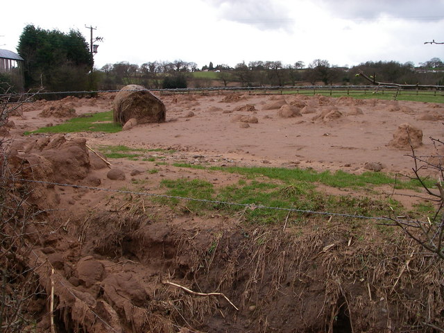
Image: © Alan Bowring Taken: 24 Mar 2008
The toe of a landslide which took place a week or two back involving thousands of tonnes of glacial sand and clay on sloping agricultural land at Alvanley. A surprise to all concerned, not least the tractor driver who surfed it for 1/4 mile and emerged unscathed!
Images are licensed for reuse under creativecommons.org/licenses/by-sa/2.0
Image Location


Leaflet Map data © OpenStreetMap
Latitude
53.270114
Longitude
-2.743975