New sign at top of Woodside Lane
Introduction
The photograph on this page of New sign at top of Woodside Lane by Aidan Simons as part of the Geograph project.
The Geograph project started in 2005 with the aim of publishing, organising and preserving representative images for every square kilometre of Great Britain, Ireland and the Isle of Man.

There are currently over 7.5m images from over 14,400 individuals and you can help contribute to the project by visiting https://www.geograph.org.uk
New sign at top of Woodside Lane
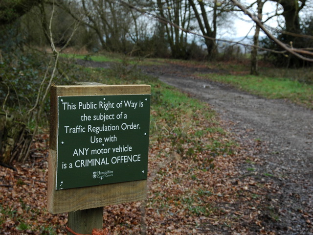
Image: © Aidan Simons Taken: 24 Mar 2008
The unmetalled section of Woodside Lane has recently been closed to motor vehicles and signs erected.
Images are licensed for reuse under creativecommons.org/licenses/by-sa/2.0
Image Location


Leaflet Map data © OpenStreetMap
Latitude
51.109453
Longitude
-1.022558