Paved field path
Introduction
The photograph on this page of Paved field path by Kevin Waterhouse as part of the Geograph project.
The Geograph project started in 2005 with the aim of publishing, organising and preserving representative images for every square kilometre of Great Britain, Ireland and the Isle of Man.

There are currently over 7.5m images from over 14,400 individuals and you can help contribute to the project by visiting https://www.geograph.org.uk
Paved field path
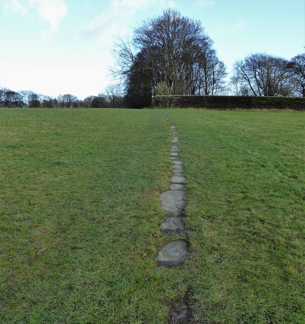
Image: © Kevin Waterhouse Taken: 21 Dec 2022
Part of the path from Bobby Green to Low House, which must have been well used to be paved. Now used by the Bronte Way
Images are licensed for reuse under creativecommons.org/licenses/by-sa/2.0
Image Location
Latitude
53.766753
Longitude
-1.820647