Approaching the centre of Blyth from the east
Introduction
The photograph on this page of Approaching the centre of Blyth from the east by Christine Johnstone as part of the Geograph project.
The Geograph project started in 2005 with the aim of publishing, organising and preserving representative images for every square kilometre of Great Britain, Ireland and the Isle of Man.

There are currently over 7.5m images from over 14,400 individuals and you can help contribute to the project by visiting https://www.geograph.org.uk
Approaching the centre of Blyth from the east
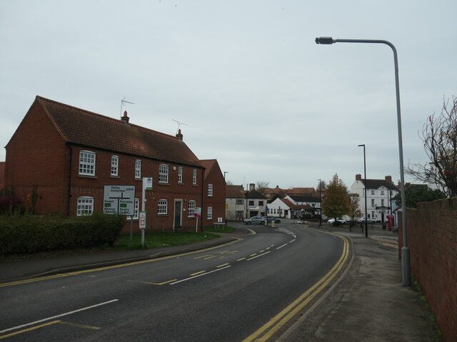
Image: © Christine Johnstone Taken: 26 Nov 2022
There is a crossroadsin the centre of the village. This is the Retford Road [A634].
Images are licensed for reuse under creativecommons.org/licenses/by-sa/2.0
Image Location
Latitude
53.37706
Longitude
-1.061071