Housing on Cory's Road
Introduction
The photograph on this page of Housing on Cory's Road by David Anstiss as part of the Geograph project.
The Geograph project started in 2005 with the aim of publishing, organising and preserving representative images for every square kilometre of Great Britain, Ireland and the Isle of Man.

There are currently over 7.5m images from over 14,400 individuals and you can help contribute to the project by visiting https://www.geograph.org.uk
Housing on Cory's Road
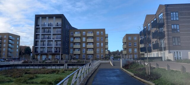
Image: © David Anstiss Taken: 20 Dec 2022
As seen from the riverside path beside Common Creek Wharf. These buildings have been built on a former Industrial wharf area, which is being converted into housing blocks. A wharf (on the River Medway) is on the left, but at low tide is full of seaweed.
Images are licensed for reuse under creativecommons.org/licenses/by-sa/2.0
Image Location
Latitude
51.388397
Longitude
0.508698