Royles Bridge near Handsacre in Staffordshire
Introduction
The photograph on this page of Royles Bridge near Handsacre in Staffordshire by Roger Kidd as part of the Geograph project.
The Geograph project started in 2005 with the aim of publishing, organising and preserving representative images for every square kilometre of Great Britain, Ireland and the Isle of Man.

There are currently over 7.5m images from over 14,400 individuals and you can help contribute to the project by visiting https://www.geograph.org.uk
Royles Bridge near Handsacre in Staffordshire
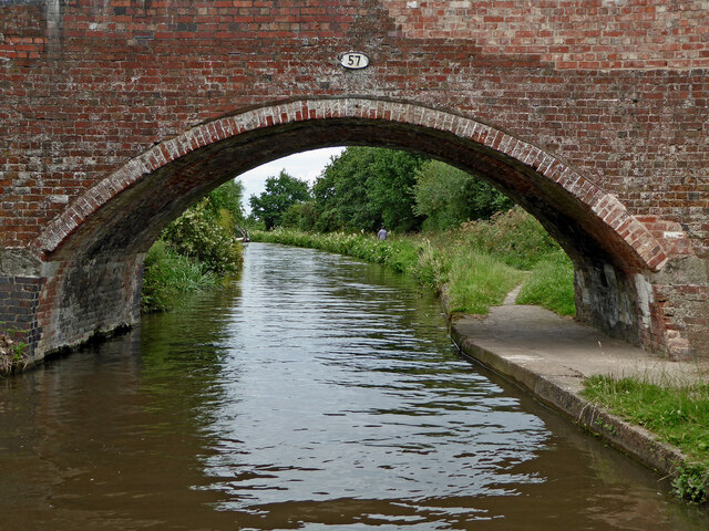
Image: © Roger Kidd Taken: 21 Jul 2016
Royles Bridge is No 57 across the Trent and Mersey Canal, and is one of two bridges carrying Tuppenhurst Lane near Handsacre. There is housing off to the left and farmland off to the right.
Images are licensed for reuse under creativecommons.org/licenses/by-sa/2.0
Image Location
Latitude
52.740106
Longitude
-1.859988