Playing field behind St Matthew's church
Introduction
The photograph on this page of Playing field behind St Matthew's church by Diocese of Leeds as part of the Geograph project.
The Geograph project started in 2005 with the aim of publishing, organising and preserving representative images for every square kilometre of Great Britain, Ireland and the Isle of Man.

There are currently over 7.5m images from over 14,400 individuals and you can help contribute to the project by visiting https://www.geograph.org.uk
Playing field behind St Matthew's church
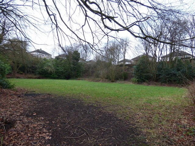
Image: © Diocese of Leeds Taken: 11 Jan 2018
Behind the church is a former quarry called Clough Hole Delph, used for part of the 20th century as tennis courts but now belonging to the parochial church council and used as a playing field.
Images are licensed for reuse under creativecommons.org/licenses/by-sa/2.0
Image Location
Latitude
53.738725
Longitude
-1.830469