Bottle Field (2)
Introduction
The photograph on this page of Bottle Field (2) by Simon Carey as part of the Geograph project.
The Geograph project started in 2005 with the aim of publishing, organising and preserving representative images for every square kilometre of Great Britain, Ireland and the Isle of Man.

There are currently over 7.5m images from over 14,400 individuals and you can help contribute to the project by visiting https://www.geograph.org.uk
Bottle Field (2)
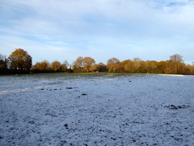
Image: © Simon Carey Taken: 17 Dec 2022
The name of the field according to Heathfield's 1841 tithe map that has been divided into two. This is the eastern part located to the south of Sicklehatch Lane and Leather Bottel Cottage, from which it derives its name, and north of Bottle Shaw. See Image for the western portion.
Images are licensed for reuse under creativecommons.org/licenses/by-sa/2.0
Image Location


Leaflet Map data © OpenStreetMap
Latitude
50.943965
Longitude
0.255347