Woods and farmland, Amersham
Introduction
The photograph on this page of Woods and farmland, Amersham by Andrew Smith as part of the Geograph project.
The Geograph project started in 2005 with the aim of publishing, organising and preserving representative images for every square kilometre of Great Britain, Ireland and the Isle of Man.

There are currently over 7.5m images from over 14,400 individuals and you can help contribute to the project by visiting https://www.geograph.org.uk
Woods and farmland, Amersham
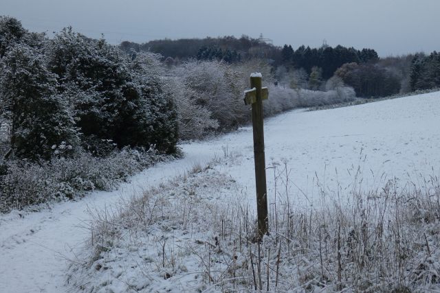
Image: © Andrew Smith Taken: 13 Dec 2022
The footpath climbing towards Mop End from Shardeloes in snow that had fallen on the evening of 11th December.
Images are licensed for reuse under creativecommons.org/licenses/by-sa/2.0
Image Location
Latitude
51.665193
Longitude
-0.650658