Tithe House (Stanton Long)
Introduction
The photograph on this page of Tithe House (Stanton Long) by Fabian Musto as part of the Geograph project.
The Geograph project started in 2005 with the aim of publishing, organising and preserving representative images for every square kilometre of Great Britain, Ireland and the Isle of Man.

There are currently over 7.5m images from over 14,400 individuals and you can help contribute to the project by visiting https://www.geograph.org.uk
Tithe House (Stanton Long)
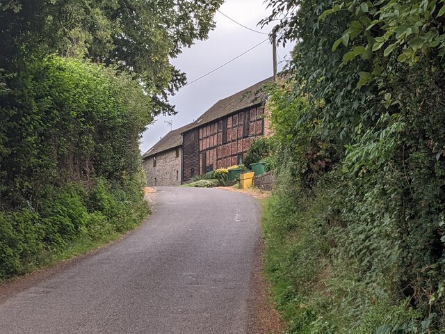
Image: © Fabian Musto Taken: 2 Sep 2021
Here is a glimpse of Tithe House from the steps to St. Michael parish church, presumably built during the seventeenth century. The part timber-framed and weatherboarded barn was grade II listed in March 1970.
Images are licensed for reuse under creativecommons.org/licenses/by-sa/2.0
Image Location
Latitude
52.51205
Longitude
-2.631788