Old Boundary Marker on the A57 Western Bank
Introduction
The photograph on this page of Old Boundary Marker on the A57 Western Bank by E James as part of the Geograph project.
The Geograph project started in 2005 with the aim of publishing, organising and preserving representative images for every square kilometre of Great Britain, Ireland and the Isle of Man.

There are currently over 7.5m images from over 14,400 individuals and you can help contribute to the project by visiting https://www.geograph.org.uk
Old Boundary Marker on the A57 Western Bank
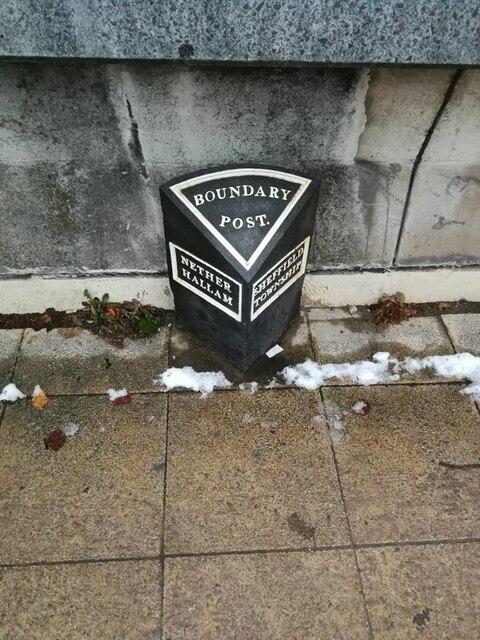
Image: © E James Taken: 15 Dec 2022
Parish Boundary Marker against a concrete wall on the north side of the A57 Western Park in Sheffield, next to the exit from Firth Court, University of Sheffield. This would seem to date from after 1866 when Nether Hallam township in Sheffield parish became a separate parish. See also http://www.geograph.org.uk/photo/5139462. Milestone Society National ID: YW_SHF02pb
Images are licensed for reuse under creativecommons.org/licenses/by-sa/2.0
Image Location
Latitude
53.381316
Longitude
-1.487944