Castle Lane West, Charminster, Bournemouth
Introduction
The photograph on this page of Castle Lane West, Charminster, Bournemouth by Malc McDonald as part of the Geograph project.
The Geograph project started in 2005 with the aim of publishing, organising and preserving representative images for every square kilometre of Great Britain, Ireland and the Isle of Man.

There are currently over 7.5m images from over 14,400 individuals and you can help contribute to the project by visiting https://www.geograph.org.uk
Castle Lane West, Charminster, Bournemouth
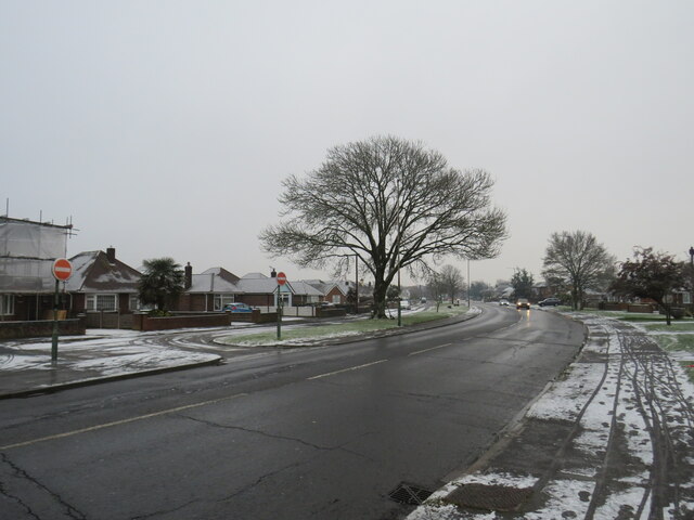
Image: © Malc McDonald Taken: 11 Dec 2022
A wintry scene on Castle Lane West in Charminster, in the northern suburbs of Bournemouth. Castle Lane West is on the route of the A3060 passing through Bournemouth's northern outskirts. This image was taken during a cold snap in December 2022. A dusting of snow had fallen overnight. The road surface was clear, it may have been gritted to keep it safe for passing traffic.
Images are licensed for reuse under creativecommons.org/licenses/by-sa/2.0
Image Location
Latitude
50.755596
Longitude
-1.862295