East Way, Charminster, Bournemouth
Introduction
The photograph on this page of East Way, Charminster, Bournemouth by Malc McDonald as part of the Geograph project.
The Geograph project started in 2005 with the aim of publishing, organising and preserving representative images for every square kilometre of Great Britain, Ireland and the Isle of Man.

There are currently over 7.5m images from over 14,400 individuals and you can help contribute to the project by visiting https://www.geograph.org.uk
East Way, Charminster, Bournemouth
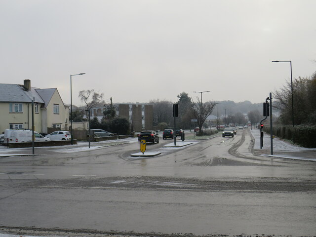
Image: © Malc McDonald Taken: 11 Dec 2022
East Way in Charminster, a suburb of Bournemouth, photographed on a very cold December day. There had been a dusting of snow overnight. This had melted on the road surface as traffic drove over it, but pavements were still quite slippery and icy.
Images are licensed for reuse under creativecommons.org/licenses/by-sa/2.0
Image Location
Latitude
50.751444
Longitude
-1.850258