Cycle and pedestrian path at the southern edge of the playing fields in Litchard
Introduction
The photograph on this page of Cycle and pedestrian path at the southern edge of the playing fields in Litchard by eswales as part of the Geograph project.
The Geograph project started in 2005 with the aim of publishing, organising and preserving representative images for every square kilometre of Great Britain, Ireland and the Isle of Man.

There are currently over 7.5m images from over 14,400 individuals and you can help contribute to the project by visiting https://www.geograph.org.uk
Cycle and pedestrian path at the southern edge of the playing fields in Litchard
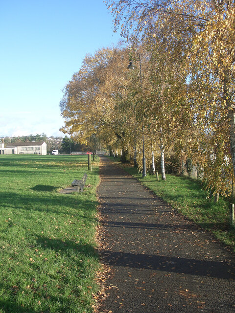
Image: © eswales Taken: 28 Nov 2022
Eastward view in the direction of Parc Derwen and Coity on one of the cycle paths of an extensive network in the north of Bridgend.
Images are licensed for reuse under creativecommons.org/licenses/by-sa/2.0
Image Location
Latitude
51.522341
Longitude
-3.570458