Berrington Village Pump
Introduction
The photograph on this page of Berrington Village Pump by Andrew Abbott as part of the Geograph project.
The Geograph project started in 2005 with the aim of publishing, organising and preserving representative images for every square kilometre of Great Britain, Ireland and the Isle of Man.

There are currently over 7.5m images from over 14,400 individuals and you can help contribute to the project by visiting https://www.geograph.org.uk
Berrington Village Pump
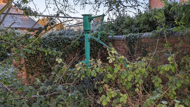
Image: © Andrew Abbott Taken: 15 Dec 2022
Berrington Village Pump. I couldn't get any closer due to the Heras fencing, which is there because the ground surrounding the well has subsided, exposing the brick-lined well shaft.
Images are licensed for reuse under creativecommons.org/licenses/by-sa/2.0
Image Location


Leaflet Map data © OpenStreetMap
Latitude
52.657761
Longitude
-2.698642