Entering Blacko from the west
Introduction
The photograph on this page of Entering Blacko from the west by Stephen Craven as part of the Geograph project.
The Geograph project started in 2005 with the aim of publishing, organising and preserving representative images for every square kilometre of Great Britain, Ireland and the Isle of Man.

There are currently over 7.5m images from over 14,400 individuals and you can help contribute to the project by visiting https://www.geograph.org.uk
Entering Blacko from the west
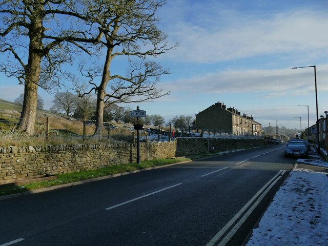
Image: © Stephen Craven Taken: 12 Dec 2022
A name sign on the A682, in a form common in this part of Lancashire. Image shows it in close-up. Milestone Society National ID: LA_SD8541.
Images are licensed for reuse under creativecommons.org/licenses/by-sa/2.0
Image Location


Leaflet Map data © OpenStreetMap
Latitude
53.871842
Longitude
-2.221095