River Foss at Huntington
Introduction
The photograph on this page of River Foss at Huntington by Alan Murray-Rust as part of the Geograph project.
The Geograph project started in 2005 with the aim of publishing, organising and preserving representative images for every square kilometre of Great Britain, Ireland and the Isle of Man.

There are currently over 7.5m images from over 14,400 individuals and you can help contribute to the project by visiting https://www.geograph.org.uk
River Foss at Huntington
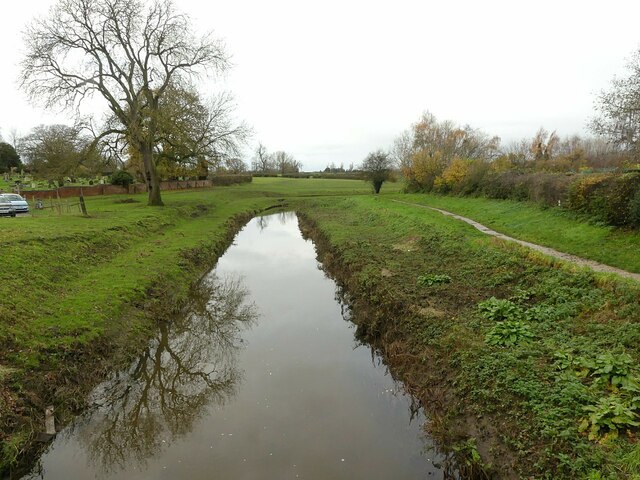
Image: © Alan Murray-Rust Taken: 4 Dec 2022
Looking north from Church Lane Bridge. The stepped banks of the river are part of measures to eliminate flooding by increasing the capacity of the river channel.
Images are licensed for reuse under creativecommons.org/licenses/by-sa/2.0
Image Location
Latitude
53.998174
Longitude
-1.062409