Gateway at Gwysaney
Introduction
The photograph on this page of Gateway at Gwysaney by John S Turner as part of the Geograph project.
The Geograph project started in 2005 with the aim of publishing, organising and preserving representative images for every square kilometre of Great Britain, Ireland and the Isle of Man.

There are currently over 7.5m images from over 14,400 individuals and you can help contribute to the project by visiting https://www.geograph.org.uk
Gateway at Gwysaney
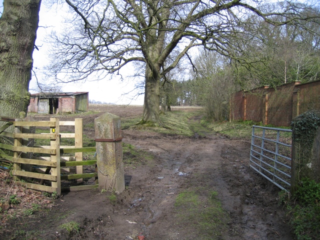
Image: © John S Turner Taken: 23 Mar 2008
The track and footpath leave the woodland here and continue along the hollow way between the trees and the old garden wall. There is a benchmark on the left hand gatepost. See also Image
Images are licensed for reuse under creativecommons.org/licenses/by-sa/2.0
Image Location
Latitude
53.190742
Longitude
-3.16003