Field at Trewassa
Introduction
The photograph on this page of Field at Trewassa by Derek Harper as part of the Geograph project.
The Geograph project started in 2005 with the aim of publishing, organising and preserving representative images for every square kilometre of Great Britain, Ireland and the Isle of Man.

There are currently over 7.5m images from over 14,400 individuals and you can help contribute to the project by visiting https://www.geograph.org.uk
Field at Trewassa
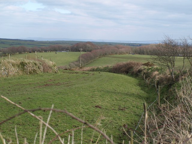
Image: © Derek Harper Taken: 18 Mar 2008
Another view of the field seen in Image, showing the curving banks on either side as the field drops towards the Inny. The slope on the other side is in SX1586.
Images are licensed for reuse under creativecommons.org/licenses/by-sa/2.0
Image Location


Leaflet Map data © OpenStreetMap
Latitude
50.650646
Longitude
-4.621302