The Hollies Poultry Farm
Introduction
The photograph on this page of The Hollies Poultry Farm by John M as part of the Geograph project.
The Geograph project started in 2005 with the aim of publishing, organising and preserving representative images for every square kilometre of Great Britain, Ireland and the Isle of Man.

There are currently over 7.5m images from over 14,400 individuals and you can help contribute to the project by visiting https://www.geograph.org.uk
The Hollies Poultry Farm
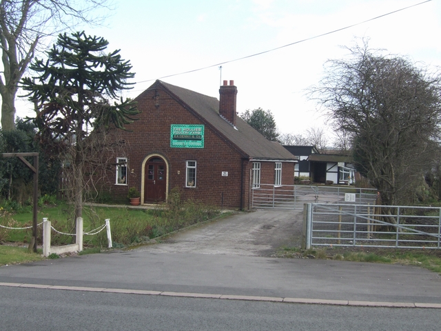
Image: © John M Taken: 24 Mar 2008
With the construction of the M6 Toll and diversion of the A460 businesses on the old road such as this in Laney Green lost their passing trade.
Images are licensed for reuse under creativecommons.org/licenses/by-sa/2.0
Image Location
Latitude
52.659086
Longitude
-2.061459