York Orbital Cycle and Pedestrian Route at Haxby Road
Introduction
The photograph on this page of York Orbital Cycle and Pedestrian Route at Haxby Road by Alan Murray-Rust as part of the Geograph project.
The Geograph project started in 2005 with the aim of publishing, organising and preserving representative images for every square kilometre of Great Britain, Ireland and the Isle of Man.

There are currently over 7.5m images from over 14,400 individuals and you can help contribute to the project by visiting https://www.geograph.org.uk
York Orbital Cycle and Pedestrian Route at Haxby Road
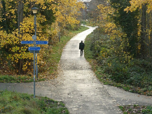
Image: © Alan Murray-Rust Taken: 5 Dec 2022
At this point the route is on the line of the Foss Islands railway branch. This was a freight only line which gave access to a large goods yard on the east side of York, with connections also to the Rowntree's cocoa factory and the city gasworks and power station. It also provided the northern connection to the Derwent Valley Light Railway, a primarily agricultural line which remained privately operated after nationalisation, closing in 1981. The Foss Islands Branch was closed to traffic in 1989.
Images are licensed for reuse under creativecommons.org/licenses/by-sa/2.0
Image Location
Latitude
53.973026
Longitude
-1.07639