Red River - Eden Benchmark no. 4
Introduction
The photograph on this page of Red River - Eden Benchmark no. 4 by Michael Earnshaw as part of the Geograph project.
The Geograph project started in 2005 with the aim of publishing, organising and preserving representative images for every square kilometre of Great Britain, Ireland and the Isle of Man.

There are currently over 7.5m images from over 14,400 individuals and you can help contribute to the project by visiting https://www.geograph.org.uk
Red River - Eden Benchmark no. 4
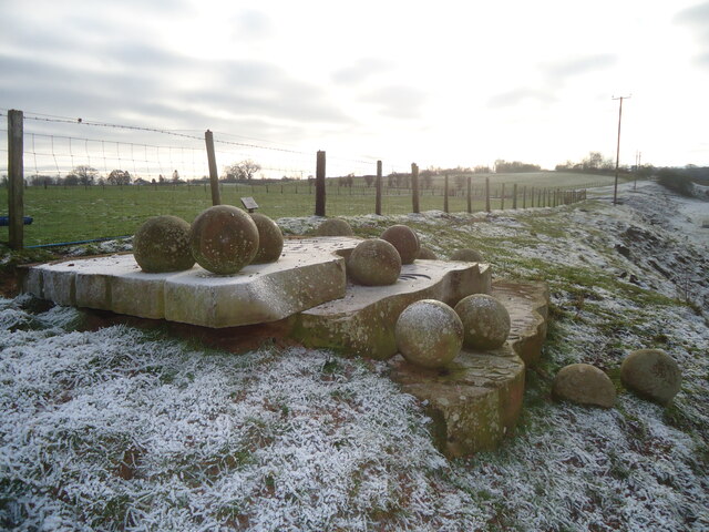
Image: © Michael Earnshaw Taken: 10 Dec 2022
This benchmark has a collection of stones apparently waiting to roll into the river. For more information about the Eden Benchmarks, see https://www.geograph.org.uk/article/The-Eden-Benchmarks .
Images are licensed for reuse under creativecommons.org/licenses/by-sa/2.0
Image Location
Latitude
54.641059
Longitude
-2.613542