Industrial Road
Introduction
The photograph on this page of Industrial Road by Tony Atkin as part of the Geograph project.
The Geograph project started in 2005 with the aim of publishing, organising and preserving representative images for every square kilometre of Great Britain, Ireland and the Isle of Man.

There are currently over 7.5m images from over 14,400 individuals and you can help contribute to the project by visiting https://www.geograph.org.uk
Industrial Road
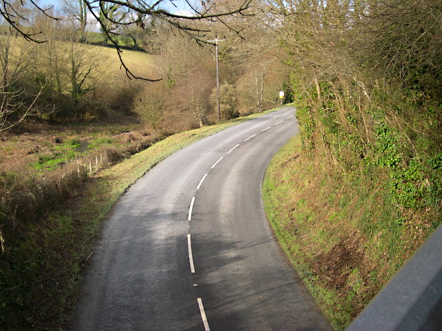
Image: © Tony Atkin Taken: 21 Jan 2006
This is a private road which used to carry the railway line between Par and Fowey. The china clay extraction company decided that it was easier to use lorries than trains to carry clay between the works at Par and the deepwater harbour at Fowey and so converted it to a road.
Images are licensed for reuse under creativecommons.org/licenses/by-sa/2.0
Image Location


Leaflet Map data © OpenStreetMap
Latitude
50.341946
Longitude
-4.645021