Track and bridleway near Warsill
Introduction
The photograph on this page of Track and bridleway near Warsill by Gordon Hatton as part of the Geograph project.
The Geograph project started in 2005 with the aim of publishing, organising and preserving representative images for every square kilometre of Great Britain, Ireland and the Isle of Man.

There are currently over 7.5m images from over 14,400 individuals and you can help contribute to the project by visiting https://www.geograph.org.uk
Track and bridleway near Warsill
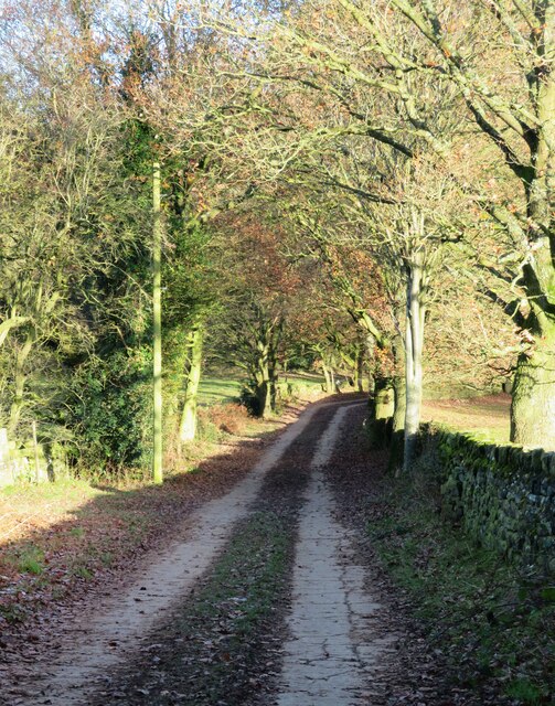
Image: © Gordon Hatton Taken: 9 Dec 2022
This concrete surfaced track makes for easy walking up the hill from near Warsill parish room. It appears to be the main access track for Riva Hill House.
Images are licensed for reuse under creativecommons.org/licenses/by-sa/2.0
Image Location


Leaflet Map data © OpenStreetMap
Latitude
54.074686
Longitude
-1.659163