Charlotte Street, Sittingbourne
Introduction
The photograph on this page of Charlotte Street, Sittingbourne by Richard Dorrell as part of the Geograph project.
The Geograph project started in 2005 with the aim of publishing, organising and preserving representative images for every square kilometre of Great Britain, Ireland and the Isle of Man.

There are currently over 7.5m images from over 14,400 individuals and you can help contribute to the project by visiting https://www.geograph.org.uk
Charlotte Street, Sittingbourne
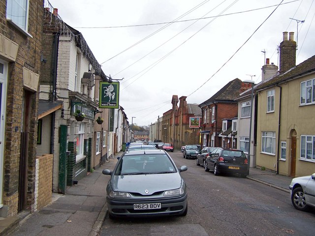
Image: © Richard Dorrell Taken: 24 Mar 2008
Looking north, with The White Horse pub on the left and The Foresters Arms on the right. Beyond the Foresters Arms are the walls of the now closed Sittingbourne paper mill.
Images are licensed for reuse under creativecommons.org/licenses/by-sa/2.0
Image Location
Latitude
51.344613
Longitude
0.729183