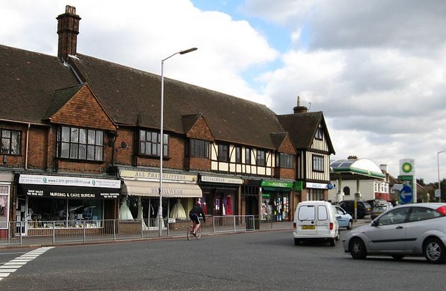
Shops opposite Trinity School, Shirley Park
Introduction
The photograph on this page of Shops opposite Trinity School, Shirley Park by Colin Bell as part of the Geograph project.
The Geograph project started in 2005 with the aim of publishing, organising and preserving representative images for every square kilometre of Great Britain, Ireland and the Isle of Man.
There are currently over 7.5m images from over 14,400 individuals and you can help contribute to the project by visiting https://www.geograph.org.uk

Image: © Colin Bell Taken: 21 Mar 2008
This area of London has blossomed with cycle paths since I was at school here in the 1980s, but this is the only cyclist I've seen brave (or mad) enough to use them: the road he's heading down is a dual-carriageway section of the trunk A232. The shop on the left has been a supplier of specialist medical equipment for over 30 years. It used to have a prominent awning "AIDS FOR THE DISABLED" which was appropriate in 1980, but distinctly unfortunate ten years later when it finally got removed.

