Site of a former occupation crossing #45
Introduction
The photograph on this page of Site of a former occupation crossing #45 by Adrian S Pye as part of the Geograph project.
The Geograph project started in 2005 with the aim of publishing, organising and preserving representative images for every square kilometre of Great Britain, Ireland and the Isle of Man.

There are currently over 7.5m images from over 14,400 individuals and you can help contribute to the project by visiting https://www.geograph.org.uk
Site of a former occupation crossing #45
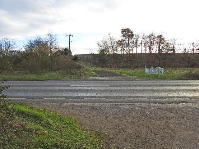
Image: © Adrian S Pye Taken: 9 Dec 2022
The road has been straightened here and diverted slightly from line of the railway track which ran along the high ground on the opposite side of the road. The crossing was in line with the remains of the road left of the banner. The other end of the former roadway remains extant in Wortwell High Road.
Images are licensed for reuse under creativecommons.org/licenses/by-sa/2.0
Image Location
Latitude
52.418332
Longitude
1.347779