Benchmark, 5 Sandgate, Penrith
Introduction
The photograph on this page of Benchmark, 5 Sandgate, Penrith by Adrian Taylor as part of the Geograph project.
The Geograph project started in 2005 with the aim of publishing, organising and preserving representative images for every square kilometre of Great Britain, Ireland and the Isle of Man.

There are currently over 7.5m images from over 14,400 individuals and you can help contribute to the project by visiting https://www.geograph.org.uk
Benchmark, 5 Sandgate, Penrith
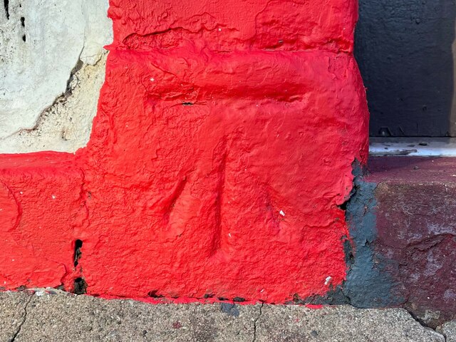
Image: © Adrian Taylor Taken: 9 Dec 2022
Detail of the old Ordnance Survey cut benchmark on the plinth of the door pillar of 5 Sandgate, Penrith, formerly the Freemason’s Arms public house. The benchmark, not listed on the Ordnance Survey database, is recorded as marking a height of 421.3 feet above Ordnance Datum Liverpool (0.650ft below mean sea level) on the 1861 Ordnance Survey first edition town map of Penrith (location photograph Image).
Images are licensed for reuse under creativecommons.org/licenses/by-sa/2.0
Image Location
Latitude
54.66553
Longitude
-2.75078