The old Freemason's Arms
Introduction
The photograph on this page of The old Freemason's Arms by Adrian Taylor as part of the Geograph project.
The Geograph project started in 2005 with the aim of publishing, organising and preserving representative images for every square kilometre of Great Britain, Ireland and the Isle of Man.

There are currently over 7.5m images from over 14,400 individuals and you can help contribute to the project by visiting https://www.geograph.org.uk
The old Freemason's Arms
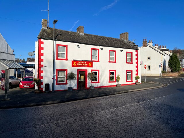
Image: © Adrian Taylor Taken: 9 Dec 2022
The north eastern part of this building facing onto Sandgate, to the right of the entrance door, was formerly the Freemasons Arms public house. It is now a Chinese takeaway. There is an old Ordnance Survey cut benchmark on the plinth of the left hand door pillar (detail photograph Image).
Images are licensed for reuse under creativecommons.org/licenses/by-sa/2.0
Image Location
Latitude
54.665539
Longitude
-2.750749