Tricky footpath, Trewassa
Introduction
The photograph on this page of Tricky footpath, Trewassa by Derek Harper as part of the Geograph project.
The Geograph project started in 2005 with the aim of publishing, organising and preserving representative images for every square kilometre of Great Britain, Ireland and the Isle of Man.

There are currently over 7.5m images from over 14,400 individuals and you can help contribute to the project by visiting https://www.geograph.org.uk
Tricky footpath, Trewassa
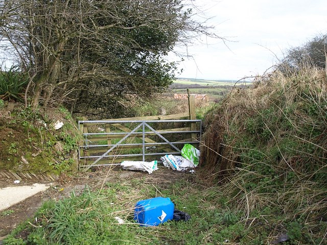
Image: © Derek Harper Taken: 18 Mar 2008
Footpath 509/5/1, which follows the lane down the north side of the hamlet, should continue ahead here towards Davidstow, but it doesn't look very promising, and there's certainly no waymarking.
Images are licensed for reuse under creativecommons.org/licenses/by-sa/2.0
Image Location


Leaflet Map data © OpenStreetMap
Latitude
50.651798
Longitude
-4.622073