Allotments on St Peter's Footpath
Introduction
The photograph on this page of Allotments on St Peter's Footpath by Nick Smith as part of the Geograph project.
The Geograph project started in 2005 with the aim of publishing, organising and preserving representative images for every square kilometre of Great Britain, Ireland and the Isle of Man.

There are currently over 7.5m images from over 14,400 individuals and you can help contribute to the project by visiting https://www.geograph.org.uk
Allotments on St Peter's Footpath
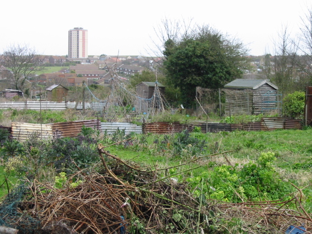
Image: © Nick Smith Taken: 22 Mar 2008
The tower in the background is http://www.geograph.org.uk/photo/460420 Invicta House, a 15 storey block of flats.
Images are licensed for reuse under creativecommons.org/licenses/by-sa/2.0
Image Location
Latitude
51.37923
Longitude
1.396558