Demolition in Crown Quay Lane
Introduction
The photograph on this page of Demolition in Crown Quay Lane by Richard Dorrell as part of the Geograph project.
The Geograph project started in 2005 with the aim of publishing, organising and preserving representative images for every square kilometre of Great Britain, Ireland and the Isle of Man.

There are currently over 7.5m images from over 14,400 individuals and you can help contribute to the project by visiting https://www.geograph.org.uk
Demolition in Crown Quay Lane
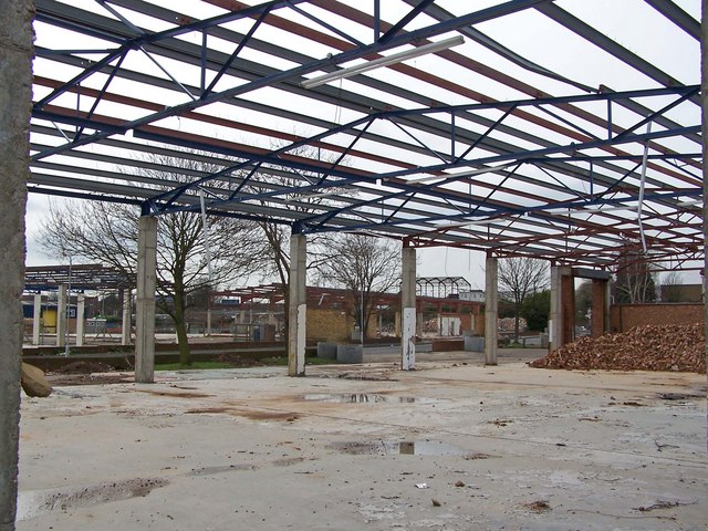
Image: © Richard Dorrell Taken: 24 Mar 2008
The former industrial sites in Crown Quay estate are being demolished to begin the redevelopment of the area between Crown Quay Lane and the Creek for residential and community open space.
Images are licensed for reuse under creativecommons.org/licenses/by-sa/2.0
Image Location
Latitude
51.344242
Longitude
0.737347