Otley, Wrenbeck Drive
Introduction
The photograph on this page of Otley, Wrenbeck Drive by Mel Towler as part of the Geograph project.
The Geograph project started in 2005 with the aim of publishing, organising and preserving representative images for every square kilometre of Great Britain, Ireland and the Isle of Man.

There are currently over 7.5m images from over 14,400 individuals and you can help contribute to the project by visiting https://www.geograph.org.uk
Otley, Wrenbeck Drive
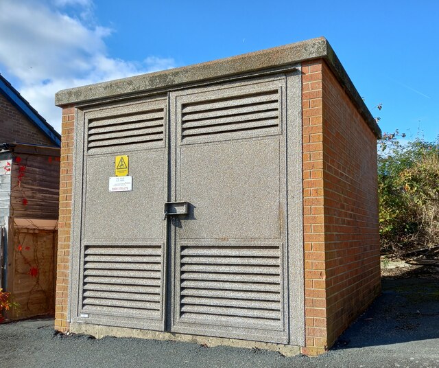
Image: © Mel Towler Taken: 18 Oct 2022
According to the OS benchmark database there is a cutmark on the south-east face of the sub-station. The building looks a relatively new build, and there were no cutmarks at the east angle. The mark has been destroyed.
Images are licensed for reuse under creativecommons.org/licenses/by-sa/2.0
Image Location
Latitude
53.916144
Longitude
-1.693035