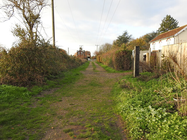
Approaching Pulham Market Station
Introduction
The photograph on this page of Approaching Pulham Market Station by Adrian S Pye as part of the Geograph project.
The Geograph project started in 2005 with the aim of publishing, organising and preserving representative images for every square kilometre of Great Britain, Ireland and the Isle of Man.
There are currently over 7.5m images from over 14,400 individuals and you can help contribute to the project by visiting https://www.geograph.org.uk

Image: © Adrian S Pye Taken: 2 Dec 2022
On the former trackbed passing Bridge Farm, with the crossing gates ahead and the station building in sight. On the immediate left is where the Admiralty Siding loop turnout was located. The siding was constructed in 1915-16 to serve Pulham Airfield and the experimentation and operation of the airships. The Royal Naval Air Station was established in 1912, on land acquired from 3 farms, including Upper Vaunces farm, and the siding officially named Upper Vaunces Farm Siding. Airships flew from here to engage in patrols over the North Sea.

