Sheep at western end of Clapshaw Plantation
Introduction
The photograph on this page of Sheep at western end of Clapshaw Plantation by Trevor Littlewood as part of the Geograph project.
The Geograph project started in 2005 with the aim of publishing, organising and preserving representative images for every square kilometre of Great Britain, Ireland and the Isle of Man.

There are currently over 7.5m images from over 14,400 individuals and you can help contribute to the project by visiting https://www.geograph.org.uk
Sheep at western end of Clapshaw Plantation
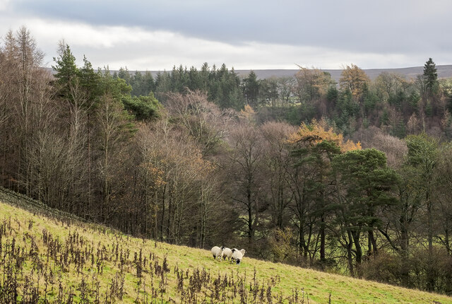
Image: © Trevor Littlewood Taken: 3 Dec 2022
Clapshaw Plantation is named from the minor road, Clap Shaw, which runs just below it connecting the small settlement at Baybridge with Blanchland.
Images are licensed for reuse under creativecommons.org/licenses/by-sa/2.0
Image Location
Latitude
54.847132
Longitude
-2.061327