The site of the former goods yard at Homersfield
Introduction
The photograph on this page of The site of the former goods yard at Homersfield by Adrian S Pye as part of the Geograph project.
The Geograph project started in 2005 with the aim of publishing, organising and preserving representative images for every square kilometre of Great Britain, Ireland and the Isle of Man.

There are currently over 7.5m images from over 14,400 individuals and you can help contribute to the project by visiting https://www.geograph.org.uk
The site of the former goods yard at Homersfield
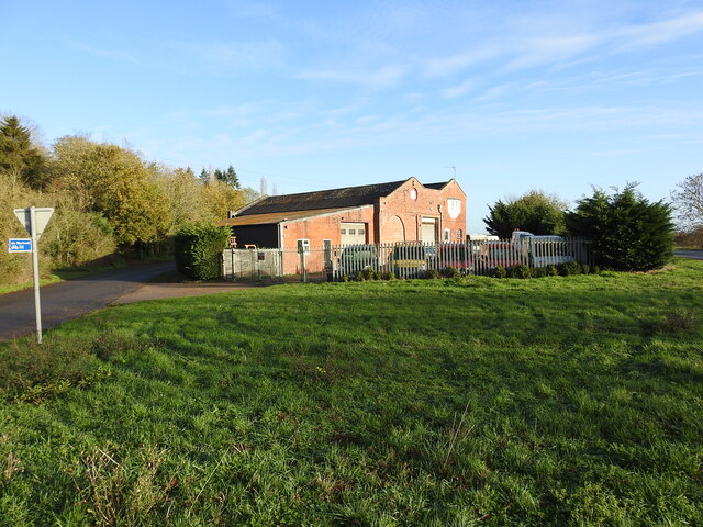
Image: © Adrian S Pye Taken: 24 Nov 2022
The goods yard has two sidings to a cattle pen and a turntable (centre - right of the picture near the tree) with three short spur sidings with a connection to a large goods shed and adjoining grain store added in 1898. The building remains extant and in use as a vehicle repair facility.
Images are licensed for reuse under creativecommons.org/licenses/by-sa/2.0
Image Location
Latitude
52.423988
Longitude
1.355123