Tregoodwell Brook
Introduction
The photograph on this page of Tregoodwell Brook by Derek Harper as part of the Geograph project.
The Geograph project started in 2005 with the aim of publishing, organising and preserving representative images for every square kilometre of Great Britain, Ireland and the Isle of Man.

There are currently over 7.5m images from over 14,400 individuals and you can help contribute to the project by visiting https://www.geograph.org.uk
Tregoodwell Brook
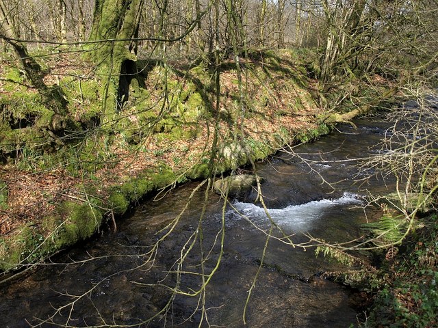
Image: © Derek Harper Taken: 18 Mar 2008
The stream, approaching the camera, runs beside the road for 60 metres before passing under it at Image Woodland is on the far side.
Images are licensed for reuse under creativecommons.org/licenses/by-sa/2.0
Image Location
Latitude
50.626229
Longitude
-4.658829