Old Boundary Marker On Lodge Road, St George's
Introduction
The photograph on this page of Old Boundary Marker On Lodge Road, St George's by A Rowley as part of the Geograph project.
The Geograph project started in 2005 with the aim of publishing, organising and preserving representative images for every square kilometre of Great Britain, Ireland and the Isle of Man.

There are currently over 7.5m images from over 14,400 individuals and you can help contribute to the project by visiting https://www.geograph.org.uk
Old Boundary Marker On Lodge Road, St George's
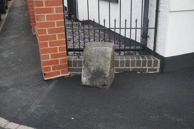
Image: © A Rowley Taken: Unknown
Estate Boundary Marker against the front garden wall of Rose Cottage on the west side of Lodge Road at its junction with School Street in St George's. St. Georges and Priorslee parish. The stone marked the boundary between two plots of land - 315 and 309 - that, in the 19C were leased from Lord Stafford to John Horton and company, which later became the Lilleshall Company. Plot 309 incorporated part of the Pain's Lane racecourse and its grandstand. Milestone Society National ID: SA_STGPRI01em
Images are licensed for reuse under creativecommons.org/licenses/by-sa/2.0
Image Location
Latitude
52.693629
Longitude
-2.431095