Fordyce Community Garden...
Introduction
The photograph on this page of Fordyce Community Garden... by Bill Harrison as part of the Geograph project.
The Geograph project started in 2005 with the aim of publishing, organising and preserving representative images for every square kilometre of Great Britain, Ireland and the Isle of Man.

There are currently over 7.5m images from over 14,400 individuals and you can help contribute to the project by visiting https://www.geograph.org.uk
Fordyce Community Garden...
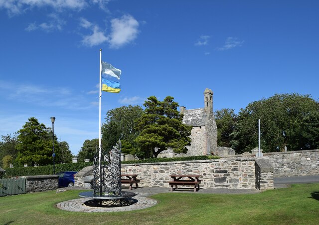
Image: © Bill Harrison Taken: 10 Aug 2022
...with the remains of the old kirk in the background.
Images are licensed for reuse under creativecommons.org/licenses/by-sa/2.0
Image Location
Latitude
57.662062
Longitude
-2.746809