Le Manoir
Introduction
The photograph on this page of Le Manoir by Nick Barber as part of the Geograph project.
The Geograph project started in 2005 with the aim of publishing, organising and preserving representative images for every square kilometre of Great Britain, Ireland and the Isle of Man.

There are currently over 7.5m images from over 14,400 individuals and you can help contribute to the project by visiting https://www.geograph.org.uk
Le Manoir
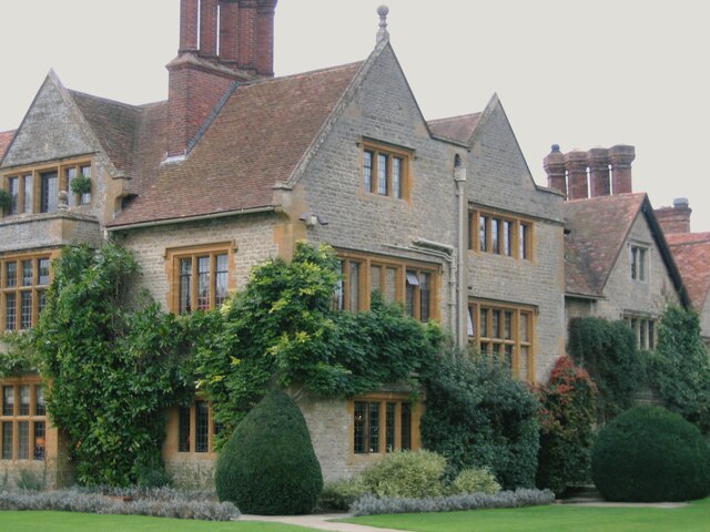
Image: © Nick Barber Taken: 20 Oct 2006
Le Manoir aux Quat'Saisons hotel and restaurant
Images are licensed for reuse under creativecommons.org/licenses/by-sa/2.0
Image Location


Leaflet Map data © OpenStreetMap
Latitude
51.716094
Longitude
-1.091366