Landslips on Muswell Hill
Introduction
The photograph on this page of Landslips on Muswell Hill by Robin Webster as part of the Geograph project.
The Geograph project started in 2005 with the aim of publishing, organising and preserving representative images for every square kilometre of Great Britain, Ireland and the Isle of Man.

There are currently over 7.5m images from over 14,400 individuals and you can help contribute to the project by visiting https://www.geograph.org.uk
Landslips on Muswell Hill
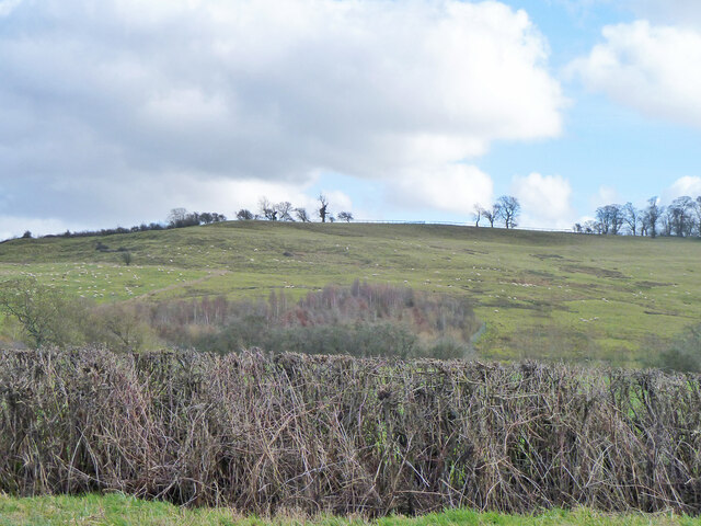
Image: © Robin Webster Taken: 22 Feb 2014
The geology here is similar to parts of the Dorset coast, where limestone overlies the unstable Kimmeridge Clay.
Images are licensed for reuse under creativecommons.org/licenses/by-sa/2.0
Image Location
Latitude
51.836796
Longitude
-1.073264