Tyland Road
Introduction
The photograph on this page of Tyland Road by Derek Harper as part of the Geograph project.
The Geograph project started in 2005 with the aim of publishing, organising and preserving representative images for every square kilometre of Great Britain, Ireland and the Isle of Man.

There are currently over 7.5m images from over 14,400 individuals and you can help contribute to the project by visiting https://www.geograph.org.uk
Tyland Road
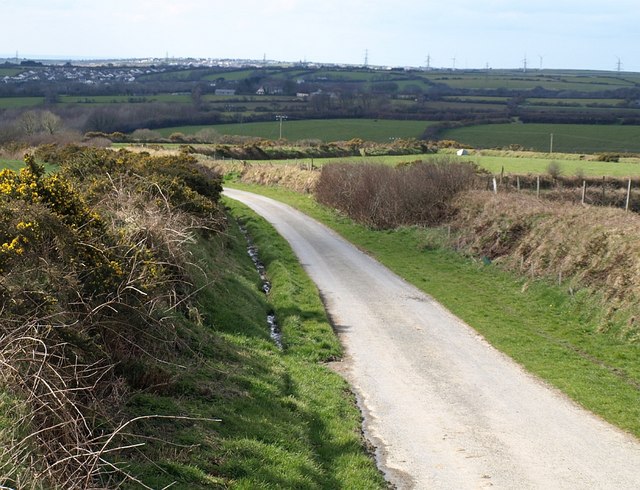
Image: © Derek Harper Taken: 18 Mar 2008
Looking down the lane from Image, as it descends towards the valley of Tregoodwell Brook. Beyond is part of Camelford.
Images are licensed for reuse under creativecommons.org/licenses/by-sa/2.0
Image Location


Leaflet Map data © OpenStreetMap
Latitude
50.629156
Longitude
-4.648812