The Carrowreagh Road, Dundonald (March 2008)
Introduction
The photograph on this page of The Carrowreagh Road, Dundonald (March 2008) by Albert Bridge as part of the Geograph project.
The Geograph project started in 2005 with the aim of publishing, organising and preserving representative images for every square kilometre of Great Britain, Ireland and the Isle of Man.

There are currently over 7.5m images from over 14,400 individuals and you can help contribute to the project by visiting https://www.geograph.org.uk
The Carrowreagh Road, Dundonald (March 2008)
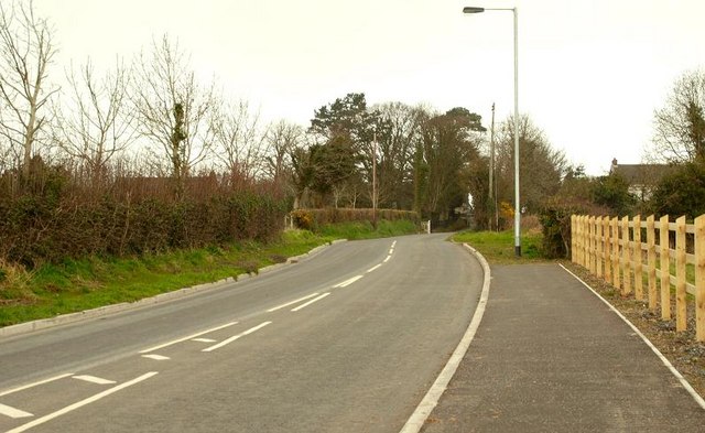
Image: © Albert Bridge Taken: 23 Mar 2008
The present limit of suburban development is marked by the wooden fence on the right. The view is towards Craigantlet from just past the entrance to Millreagh.
Images are licensed for reuse under creativecommons.org/licenses/by-sa/2.0
Image Location


Leaflet Map data © OpenStreetMap
Latitude
54.599493
Longitude
-5.77892