
Muddy Path North of Seafield
Introduction
The photograph on this page of Muddy Path North of Seafield by Ian Dodds as part of the Geograph project.
The Geograph project started in 2005 with the aim of publishing, organising and preserving representative images for every square kilometre of Great Britain, Ireland and the Isle of Man.

There are currently over 7.5m images from over 14,400 individuals and you can help contribute to the project by visiting https://www.geograph.org.uk
Muddy Path North of Seafield
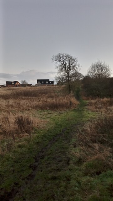
Image: © Ian Dodds Taken: 23 Nov 2022
This muddy path connects the well-used National Cycle Route 75 with the Western edge of Seafield village. A spur of the path takes you into two fairly new cul-de-sacs that occupy the former grounds of Seafield Farm, which once upon a time was all there was here. (One of the streets is called Byreside in reference to this.) This section of the path appears on the first OS map of the area, surveyed in the 1850s. It led from the farm to a quarry, the site of which is now covered by woodland. By the 1890s the path/track had extended to meet a mineral railway line - the course of which is followed by the nearby section of the cycle route.
Images are licensed for reuse under creativecommons.org/licenses/by-sa/2.0
Image Location

Latitude
55.878574
Longitude
-3.597268