Flooded residential development site off Legbourne Road, Louth: aerial 2022 (1)
Introduction
The photograph on this page of Flooded residential development site off Legbourne Road, Louth: aerial 2022 (1) by Chris as part of the Geograph project.
The Geograph project started in 2005 with the aim of publishing, organising and preserving representative images for every square kilometre of Great Britain, Ireland and the Isle of Man.

There are currently over 7.5m images from over 14,400 individuals and you can help contribute to the project by visiting https://www.geograph.org.uk
Flooded residential development site off Legbourne Road, Louth: aerial 2022 (1)
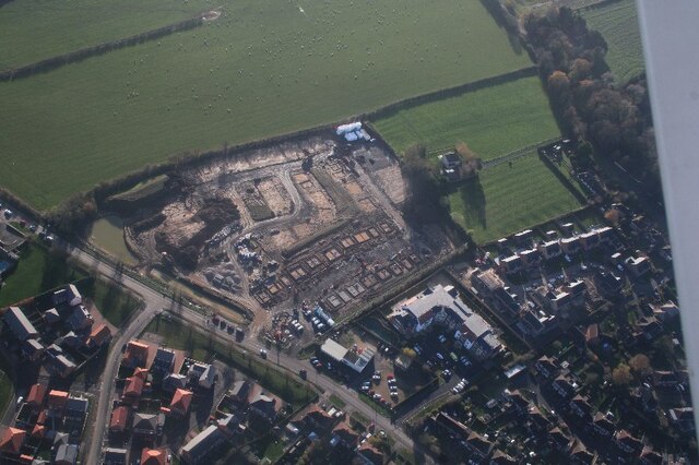
Image: © Chris Taken: 25 Nov 2022
One of the objections to the development was that, lets say, the ground in this area is quickly saturated in the event of rain.
Images are licensed for reuse under creativecommons.org/licenses/by-sa/2.0
Image Location
Latitude
53.353885
Longitude
0.013309