Tatton Park Farm, slaughterhouse
Introduction
The photograph on this page of Tatton Park Farm, slaughterhouse by Mel Towler as part of the Geograph project.
The Geograph project started in 2005 with the aim of publishing, organising and preserving representative images for every square kilometre of Great Britain, Ireland and the Isle of Man.

There are currently over 7.5m images from over 14,400 individuals and you can help contribute to the project by visiting https://www.geograph.org.uk
Tatton Park Farm, slaughterhouse
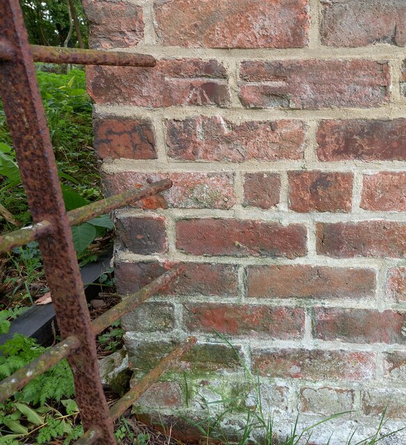
Image: © Mel Towler Taken: 9 Oct 2022
The benchmark is cut into the 8th and 9th brick courses on the east angle. The National Trust have this building labelled as "slaughterhouse".
Images are licensed for reuse under creativecommons.org/licenses/by-sa/2.0
Image Location


Leaflet Map data © OpenStreetMap
Latitude
53.335444
Longitude
-2.388302