Blands Terrace
Introduction
The photograph on this page of Blands Terrace by Gordon Hatton as part of the Geograph project.
The Geograph project started in 2005 with the aim of publishing, organising and preserving representative images for every square kilometre of Great Britain, Ireland and the Isle of Man.

There are currently over 7.5m images from over 14,400 individuals and you can help contribute to the project by visiting https://www.geograph.org.uk
Blands Terrace
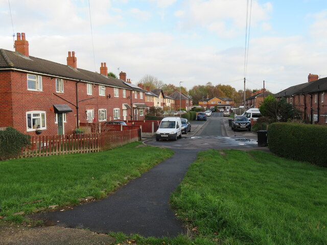
Image: © Gordon Hatton Taken: 25 Nov 2022
Quiet residential street in Allerton Bywater. The houses here would appear to be of the type built for a local authority in the 1930's when this was a mining area.
Images are licensed for reuse under creativecommons.org/licenses/by-sa/2.0
Image Location
Latitude
53.749619
Longitude
-1.374885