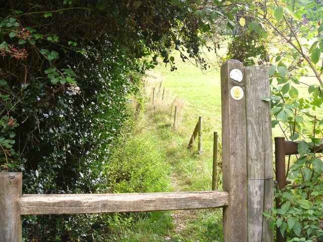
A walk from Kerne Bridge to Ross-on-Wye [25]
Introduction
The photograph on this page of A walk from Kerne Bridge to Ross-on-Wye [25] by Michael Dibb as part of the Geograph project.
The Geograph project started in 2005 with the aim of publishing, organising and preserving representative images for every square kilometre of Great Britain, Ireland and the Isle of Man.
There are currently over 7.5m images from over 14,400 individuals and you can help contribute to the project by visiting https://www.geograph.org.uk

Image: © Michael Dibb Taken: 1 Sep 2022
After crossing the stile, the path, part of the long distance Wye Valley Walk, runs along the field edge. The walk leaves Kerne Bridge, ascends Ley Hill then takes a bridleway through Warren Wood to Forest Green. A minor road is then followed to Bull’s Hill where the long distance Wye Valley Walk is joined. Bridleways and footpaths are then taken to Coughton and the start of the steep ascent through Chase Wood to the hillfort on top of the plateau. A descent through Merrivale Wood takes the route to its destination in Ross-on-Wye. About 4½ miles.

