Pasture, Seer Green
Introduction
The photograph on this page of Pasture, Seer Green by Andrew Smith as part of the Geograph project.
The Geograph project started in 2005 with the aim of publishing, organising and preserving representative images for every square kilometre of Great Britain, Ireland and the Isle of Man.

There are currently over 7.5m images from over 14,400 individuals and you can help contribute to the project by visiting https://www.geograph.org.uk
Pasture, Seer Green
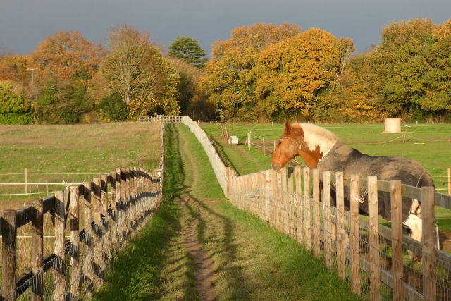
Image: © Andrew Smith Taken: 20 Nov 2022
A footpath heads through paddocks to reach Butler's Cross and the western edge of Chalfont St Giles.
Images are licensed for reuse under creativecommons.org/licenses/by-sa/2.0
Image Location
Latitude
51.623766
Longitude
-0.591502