Bale Place
Introduction
The photograph on this page of Bale Place by John Baker as part of the Geograph project.
The Geograph project started in 2005 with the aim of publishing, organising and preserving representative images for every square kilometre of Great Britain, Ireland and the Isle of Man.

There are currently over 7.5m images from over 14,400 individuals and you can help contribute to the project by visiting https://www.geograph.org.uk
Bale Place
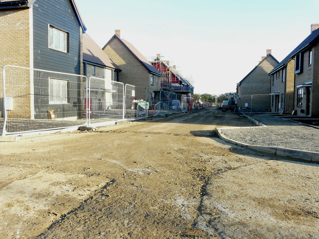
Image: © John Baker Taken: 13 Nov 2022
Part of a developing housing estate, where 325 homes are to be built http://www.cradick.co.uk/properties/freehold/Bridgefield-Ashford-Ashford/421 The first house, on the left, was the same as in this view of Image
Images are licensed for reuse under creativecommons.org/licenses/by-sa/2.0
Image Location
Latitude
51.106709
Longitude
0.883157